England
Currently out of Stock
RRP:12.99
Your price:
£11.69
Map sheet number 222 in the OS Explorer map series is ideal for discovering the...
Guidebook to cycling in the Yorkshire Dales. Includes 23 day rides for bases such as...
With clear, large scale Ordnance Survey route maps, the Pathfinde Country Walks Near...
The new Dinky Maps published by Dorrigo feature Ordnance Survey scale mapping
Passed down from generation to generation , many of Derbyshire's most popular folk...
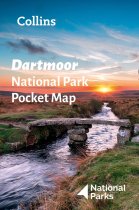
Handy little full colour map of Dartmoor National Park. Detailed mapping and visitor...
King of the Fells. Iron man. Lake District fell running legend. Joss Naylor is all of...
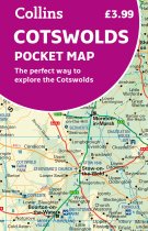
Handy little full colour map of the Cotswolds.
Main features of this map include:
•...
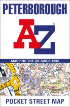
This up-to-date detailed A-Z street map includes more than 1,600 streets in and around...
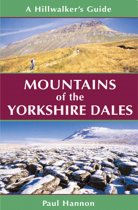
'Mountains of the Yorkshire Dales' is the essential companion to walking the 31 rolling...
Dorset has emerged as a major bouldering area in recent years thanks to the hard work...
Currently out of Stock
RRP:12.99
Your price:
£11.69
The Landranger map is an all purpose map packed full of information to help you really...


