

England




Map sheet number 141 in the OS Explorer series covers the western Mendip Hills,...
Famously the home of Robin Hood, Explorer map 270 shows the appropriately named Robin...
Covering the Wye Valley Area of Outstanding Natural Beauty, OS Explorer Map 189 is...
Map sheet number 104 in the OS Explorer map series is the ideal map for walkers,...
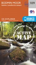
Taking in the towns of Liskeard, Bodmin and Camelford this map provides coverage of...
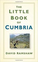
This is a fact-packed compendium of snippets from the past and present, including...
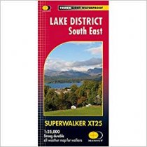
NEW!! Superwalker XT25 of the Lake District. Revised and re-designed. It's got...
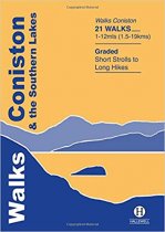
Rewalked and revised in 2015, Walks Coniston & the Southern Lakes features walks in The...
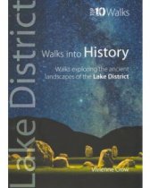
This attractive and cleverly structured guide gives walkers ten of the finest walks...
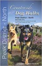
Written for all dog owners looking for hassle-free walks to enjoy with their dogs, this...
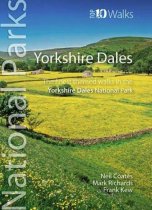
This attractive and cleverly structured guide gives walkers ten of the finest circular,...
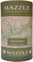
The Peak District MAZZLE is a full colour jigsaw based on the renowned British Mountain...


