England Maps
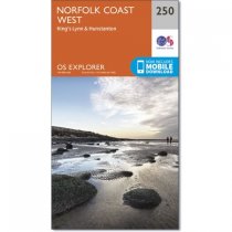
Map sheet number 250 in the OS Explorer series covers the north west Norfolk coast and...
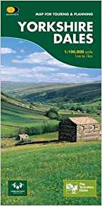
This map provides a colourful overview of the Dales - famous Swaledale, Wensleydale,...
The Ultramap covers a large area yet is small enough to slip in a pocket.It is a fully...
Walking guide to the Peak District National Park, with 20 best routes chosen by the...
Currently out of Stock
RRP:11.99
Your price:
£10.79
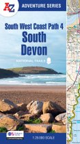
The perfect companion for those who love the great outdoors, the A-Z Adventure Series...
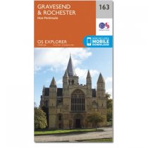
Map sheet number 163 in the OS Explorer series covers an area in North Kent along the...
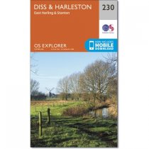
Following the River Waveney, OS Explorer Map 230 is a double-sided mapfeaturing East...
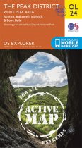
Map sheet number OL 24 in the OS Explorer series covers the Peak District area...
The OS Travel Map 4 for Peak District & Derbyshire. The Tour and Tourist series road...
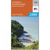
Map sheet number 126 in the OS Explorer series covers Clovelly, Bideford, Hartland,...
OS Explorer map 281 is a double sided map showing Barton-upon-Humber down to Bishop...
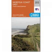
Map sheet number 252 in the OS Explorer series covers the Norfolk coast around Cromer,...

