England
In the far South-East on England, Dover, Folkstone and Hythe border the Kent Downs, and...
Map sheet number OL21 in the OS Explorer series covers an area of the Pennines and...
Map sheet number 192 in the OS Explorer series covers North Buckinghamshire and Milton...
The ten best circular walks on the coast between Lyme Regis and Studland Bay....
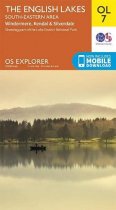
Map sheet number OL7 in the OS Explorer map series, The English Lakes: South-eastern...
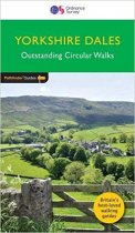
Pathfinder walking guidebook for the Yorkshire Dales covering parts of the National...
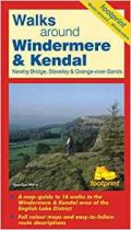
A map-guide to 16 walks in the Windermere & Kendal area of the English Lake District
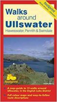
A map-guide to 15 walks around Ullswater, in the English Lake District
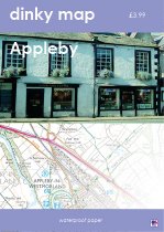
The new Dinky Maps published by Dorrigo feature Ordnance Survey scale mapping
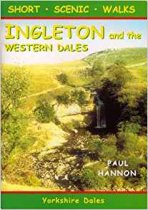
20 short circular walks in the Yorkshire Dales National Park.
The new Dinky Maps published by Dorrigo feature Ordnance Survey scale mapping


