Maps & Atlases
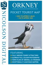
This Nicolson Digital Pocket Tourist Map is ideal for any visit to Orkney. Tourist...
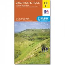
Map sheet number OL11 in the OS Explorer map series is ideal for those seeking...
Currently out of Stock
RRP:12.99
Your price:
£11.69
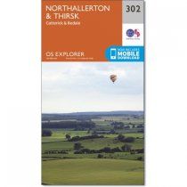
Map sheet number 302 in the OS Explorer map series is ideal for discovering North...
Currently out of Stock
RRP:12.99
Your price:
£11.69
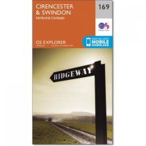
Map sheet number 169 in the OS Explorer series covers an area from Cirencester and...
OS Explorer Map 277 covers Manchester and the surrounding areas. Although mainly...
Currently out of Stock
RRP:12.99
Your price:
£11.69
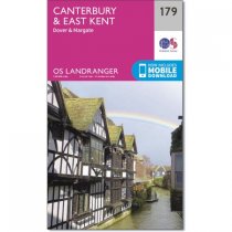
Landranger map number 179 shows the far south-east coast, including the cathedral city...
Currently out of Stock
RRP:16.99
Your price:
£15.29
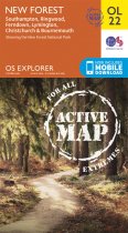
Map sheet number OL22 in the OS Explorer map series is the perfect map for holiday...
Currently out of Stock
RRP:12.99
Your price:
£11.69
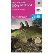
OS Landranger map 188 series covers Maidstone, which lies on the banks of the River...
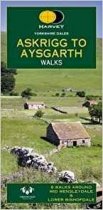
This Yorkshire Dales: Askrigg to Aysgarth Walks map includes eight walks in...
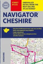
The only atlas with all the named streets in Cheshire. CHESTER, CREWE, MACCLESFIELD,...
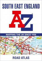
This A-Z map of South East England is a full colour regional road atlas featuring 46...


