Maps & Atlases
Currently out of Stock
RRP:16.99
Your price:
£15.29
OS Explorer is the Ordnance Survey's most detailed map and is recommended for anyone...
Covers a large area yet is handy and pocket perfect. 22 Munros, 14 Corbetts and 5...
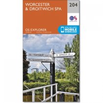
Near the junctions of the River Teme and River Severn, the City of Worcester and the...
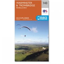
Map sheet number 143 in the OS Explorer series covers the west of Wiltshire, taking in...
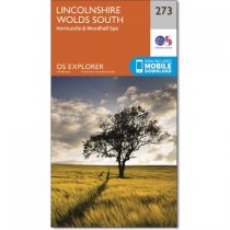
OS Explorer map 273 covers the southern Lincolnshire Wolds, and the Viking Way (part of...
Currently out of Stock
RRP:12.99
Your price:
£11.69
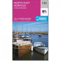
Map sheet number 133 in the OS Landranger map series covers north east Norfolk, Cromer,...
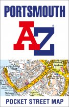
As well as ferry routes from Portsmouth Harbour, other areas covered include Southsea,...
Who hasn't explored and enjoyed their surrounding area recently and come to appreciate...
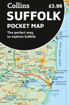
Explore new places with handy pocket maps from Collins.
Handy little full-colour map...
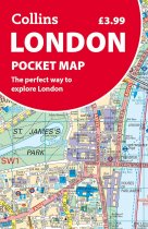
Discover new places in central London with this handy pocket map from Collins.
Clear...
These maps are designed for tourist and leisure activities. Each map covers an area...
These maps are designed for tourist and leisure activities. Each map covers an area...


